Amarbhumi is a former village development committee in Baglung district, now one of the units that make up Tara Khola Rural Municipality (with Argal, Hila and Tara). The Nepal Chhantyal Sangh names it among the district’s Chhantyal settlements, and Chhantyal is recorded among the languages of Tara Khola.
Trace-back
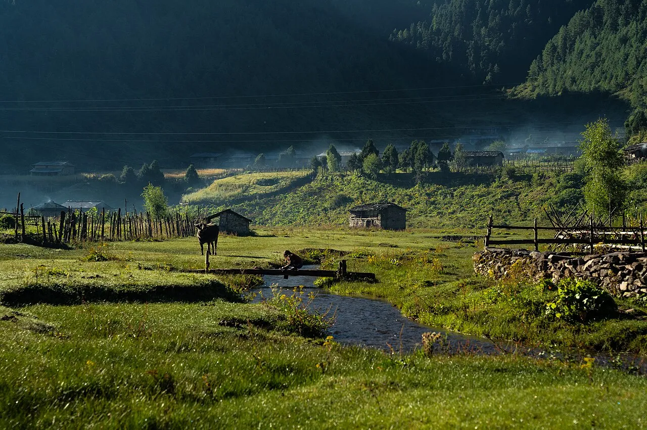
Amarbhumi lies in the western Baglung hill country of the Chhantyal, sharing the community’s long history of copper mining and farming on the Dhaulagiri foothills.
At the time of the 1991 census
Amarbhumi recorded 2,248 people in 409 houses, its Chhantyal families part of a wider hill community.
What people do
Life rests on farming the slopes, livestock, and income from family working abroad.
From Amarbhumi? Help us record its Chhantyal community, history and photographs through the Connect page.
Sources
Know this village? Help us complete and correct its story through the Connect page. ✏️ Suggest a correction to this page