On the map
Open the full map →Myagdi district
Gurja Khani
The largest and highest Chhantyal village in the Dhaulagiri region, born of the copper mines.
Its story →
Mangale Khani
The easternmost Chhantyal village of Myagdi — its speech represents the documented Chhantyal language.
Its story →
Malkabang
A Chhantyal village ringed by more than a dozen old copper mines.
Its story → Patle Kharka
One of the eastern Chhantyal-speaking villages of Myagdi.
Its story → Arman
A Chhantyal khani (mine) village on the southern slopes of Dhaulagiri, now part of Mangala.
Its story → Machhim
A Chhantyal village whose old copper mine has reawakened local hopes.
Its story → Chaura Khani
An eastern Chhantyal mining village of Myagdi.
Its story → Thada Khani
Home to the old Rumale-cliff copper mine, still awaiting excavation.
Its story → Kuine Khani
A Chhantyal copper village of Raghuganga, Myagdi — also known as Kuinemangale.
Its story →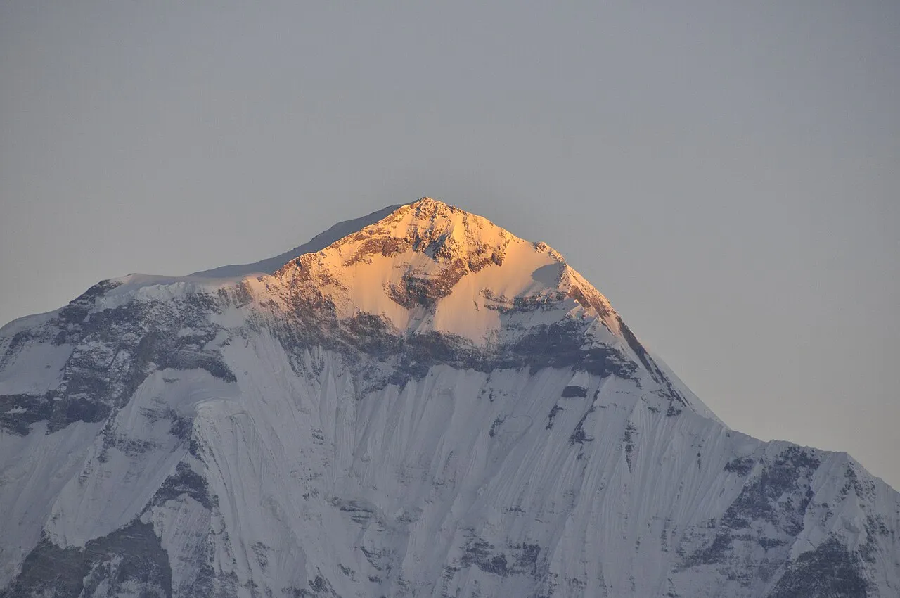
Malhampar
One of the documented villages of eastern Myagdi where the Chhantyal language is still spoken.
Its story →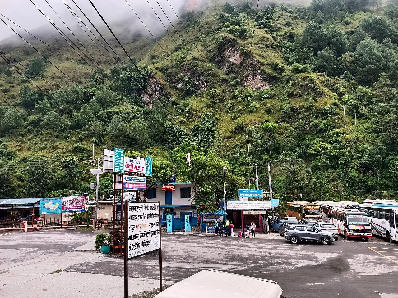 Draft
Draft Kharikhet
A Myagdi settlement named as Chhantyal in community sources, awaiting independent confirmation.
Its story → Bhakimli
A Chhantyal and Magar village above Beni, remembered for its copper mines.
Its story → Chinakhet
A Chhantyal village on a copper-bearing hill above Beni.
Its story → Baranja
A Chhantyal village — and the first fully literate area in Myagdi.
Its story → Dwari
One of the eastern Chhantyal-speaking villages of Myagdi.
Its story →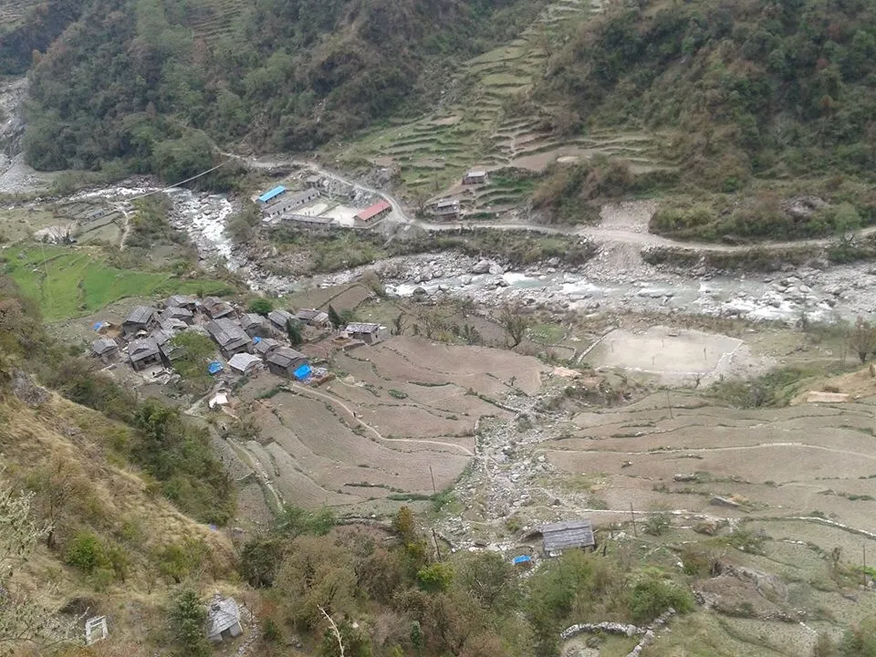
Ghyas Kharka
A high-pasture Chhantyal village of eastern Myagdi.
Its story → Takam
A historic multi-ethnic village on the Dhaulagiri trekking route.
Its story → Pakhapani
A large, mixed hill village of Raghuganga, Myagdi — named by the Sangh among Chhantyal settlements and also a Pun (Magar) village.
Its story → Arthunge
A former hill VDC near Beni, named by the Sangh among its Chhantyal settlements.
Its story →
Okharbot
A Chhantyal mining village of Malika, whose great copper mine is being studied for revival.
Its story →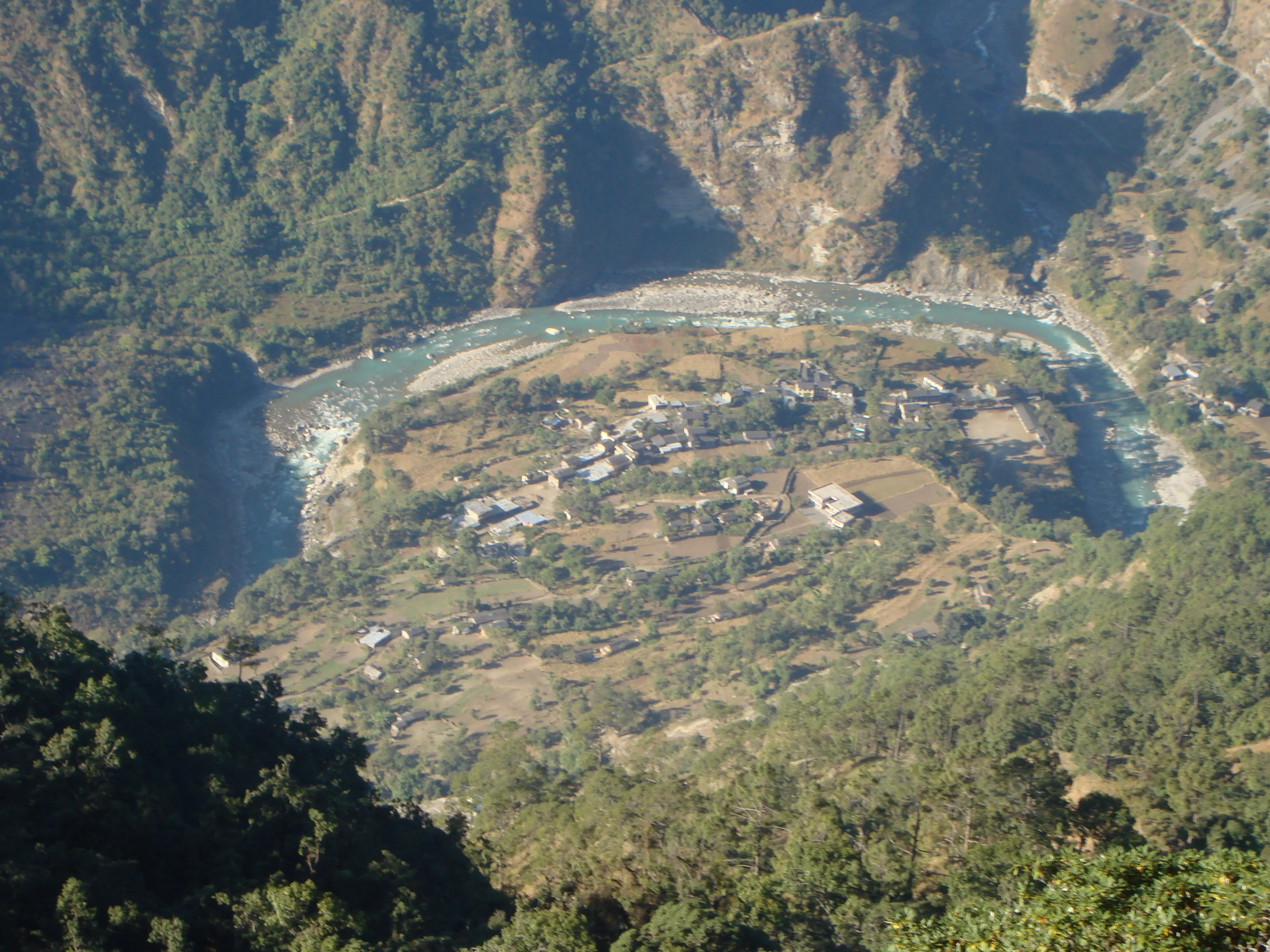
Darbang
The bustling bazaar at the centre of Malika, gateway to the Dhaulagiri and Dhorpatan trails.
Its story → Niskot
A former hill VDC of Malika, named by the Sangh among its Chhantyal settlements.
Its story → Draft Jhingkhani
A Chhantyal "khani" (mine) village of Myagdi named on the community's own roster.
Its story →Baglung district
Lammela
A Chhantyal village of western Baglung, long tied to the Taman Mukhiya tradition.
Its story →
Bongakhani
A Chhantyal mining village of Baglung.
Its story → Ghosakhani
A Chhantyal mining village of Baglung.
Its story →
Sethara
A settlement in Tamankhola, Baglung — gazetted as "Setra" — named as Chhantyal in community sources.
Its story → Draft Musikot
A Baglung village tied to the very origin of the Chhantyal name.
Its story →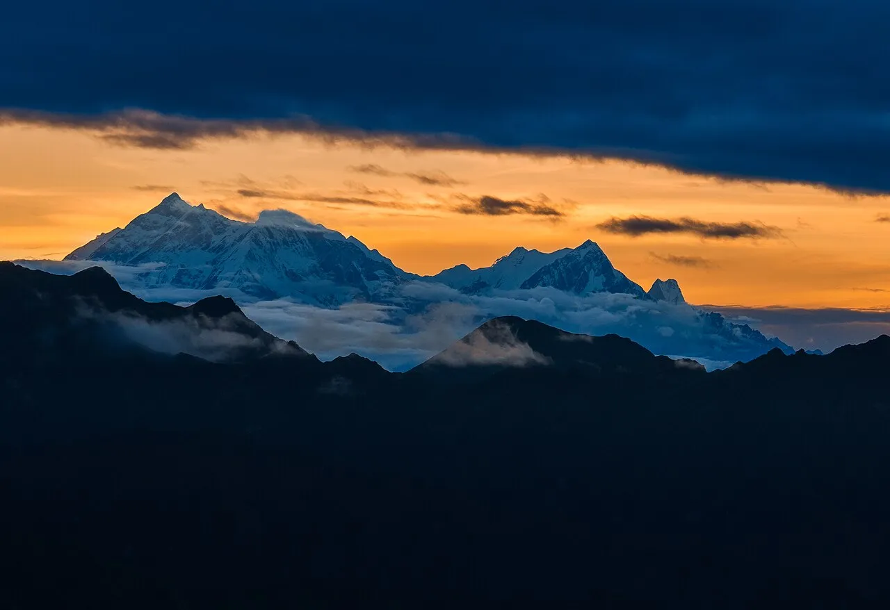
Ghyakhani
A Chhantyal mining hamlet within Adhikarichaur, Baglung — documented in an academic study of the community.
Its story →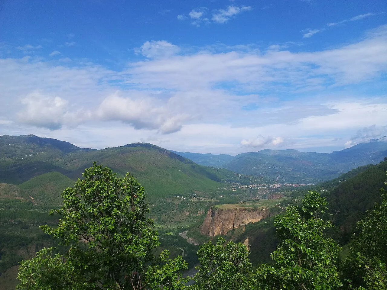
Bahungaun
A Chhantyal village of Baglung district.
Its story → Khungkhani
A mixed Chhantyal, Magar and Dalit mining village of Baglung.
Its story → Narjakhani
A Chhantyal mining village of Baglung.
Its story →
Darling
A large Chhantyal village of Baglung, counted in Kathekhola.
Its story →
Kalapatal
A Chhantyal village of Baglung district.
Its story → Khahare
A Chhantyal village of Baglung district.
Its story → Dhamja
A larger Baglung village where Chhantyal families live among several communities.
Its story → Lekhani
A Chhantyal "khani" (mine) village of Kathekhola, Baglung.
Its story → Damek
One of the largest village units in Baglung, named by the Sangh among its Chhantyal settlements.
Its story → Taman
A scenic Dhaulagiri-foot village of Tamankhola — and the living seat of the Mukhiya tradition.
Its story → Bongadovan
A large Baglung village named by the Sangh among its Chhantyal settlements.
Its story → Devisthan
A large Baglung village named by the Sangh among its Chhantyal settlements.
Its story → Burtibang
The bustling market town of western Baglung — the second-largest commercial centre in the district.
Its story → Adhikarichaur
A large Baglung village whose Chhantyal community has been documented in its own academic case study.
Its story → Amarbhumi
A hill village of Tara Khola, named by the Sangh among its Chhantyal settlements.
Its story → Khunga
A western Baglung village of the Tarakhola country, long tied to the Taman Mukhiya tradition.
Its story → Nisi
A large western Baglung village that lends its name to Nisikhola Rural Municipality.
Its story → Jaljala
A Baglung village that lends its name to Jaljala Rural Municipality.
Its story → Draft Handikhani
A Chhantyal "khani" (mine) village of Baglung, paired with Ghaiyakhani on the Sangh roster.
Its story → Draft Khanikhola
A Chhantyal "khani" village of Baglung, named on the community's own roster.
Its story → Draft Deurali Khani
A Chhantyal "khani" (mine) village of Baglung, new to the community's roster.
Its story → Draft Jhule Khani
A Chhantyal "khani" (mine) village of Baglung, new to the community's roster.
Its story → Dagatundanda
A large Baglung hill village named by the Sangh among its Chhantyal settlements.
Its story → Dhullubaskot
A southern Baglung hill village named by the Sangh among its Chhantyal settlements.
Its story →Gulmi district
Bharse
A Gulmi hill village, the first time the Sangh names Chhantyal settlements east of the homeland.
Its story → Bhurtung
A former Gulmi VDC — now part of Kaligandaki Rural Municipality — named by the Sangh among its Chhantyal settlements.
Its story → Draft Bami
A former Gulmi VDC named by the Sangh among its Chhantyal settlements; its present-day local unit is not yet pinned down.
Its story → Badagaun
A former Gulmi VDC — now part of Musikot Municipality — named by the Sangh among its Chhantyal settlements.
Its story → Bisukharka
A former Gulmi VDC — now part of Chandrakot Rural Municipality — named by the Sangh among its Chhantyal settlements.
Its story → Draft Tamghas Khanigaun
A "khanigaun" (mine village) near Tamghas, the Gulmi district headquarters.
Its story → Duvichaur
A former Gulmi VDC — now part of Resunga Municipality — named by the Sangh among its Chhantyal settlements.
Its story →Surkhet district
Satakhani
A former Surkhet VDC — gazetted as "Satokhani" — named by the Sangh among its Chhantyal areas.
Its story → Ratu
A former Surkhet VDC — now part of Birendranagar Municipality — named by the Sangh among its Chhantyal areas.
Its story → Garpan
A former Surkhet VDC — now ward 16 of Birendranagar Municipality — named by the Sangh among its Chhantyal areas.
Its story →Rukum district
Pyuthan district
Syauliwang
A remote former Pyuthan VDC — gazetted as "Syaulibang", now in Naubahini Rural Municipality — named by the Sangh among its Chhantyal areas.
Its story → Khawang
A former Pyuthan VDC — gazetted as "Khabang", now in Naubahini Rural Municipality — named by the Sangh among its Chhantyal areas.
Its story → Draft Ekrate
A Pyuthan village named by the Sangh among its Chhantyal areas.
Its story →