Niskot is a former village development committee in the hills of Myagdi, now one of the seven units that make up Malika Rural Municipality (alongside Rum, Danda Gaau, Okharbot, Devisthan, Darbang and Bim). The Nepal Chhantyal Sangh names it among the district’s Chhantyal settlements; across Malika as a whole, about 0.7% of residents identified as Chhantyal at the recent census.
Trace-back
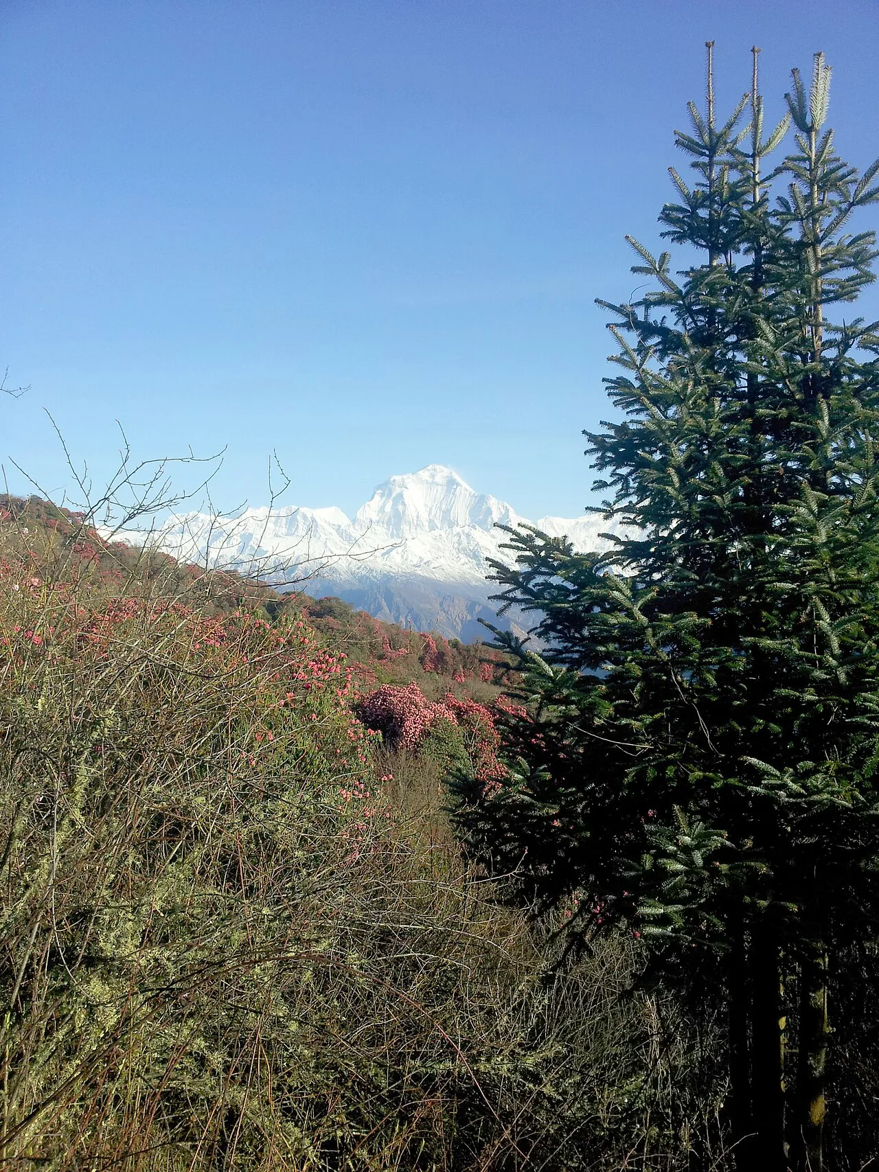
Niskot lies in the Malika country south of the Dhaulagiri range, the same copper-and-farming hill belt that the Chhantyal have long shared with Magar and other communities.
At the time of the 1991 census
Niskot VDC recorded 1,772 people in 327 households.
What people do
Life rests on farming the slopes, livestock, and income from family working abroad. Its exact location has yet to be confirmed here.
From Niskot? Help us record its Chhantyal community, history and photographs through the Connect page.
Sources
Know this village? Help us complete and correct its story through the Connect page. ✏️ Suggest a correction to this page