Birgumkhani — gazetted simply as Birgum — is a hill settlement of Rukum East in the mid-west of Nepal, named by the Nepal Chhantyal Sangh among its Chhantyal localities. It lies in Putha Uttarganga Rural Municipality (the historical Kol VDC), in the Karnali-facing country below the Putha Hiunchuli peak. The gazetteer records it as “Birgum”; the “-khani” (mine) form is the community’s own usage.
Trace-back
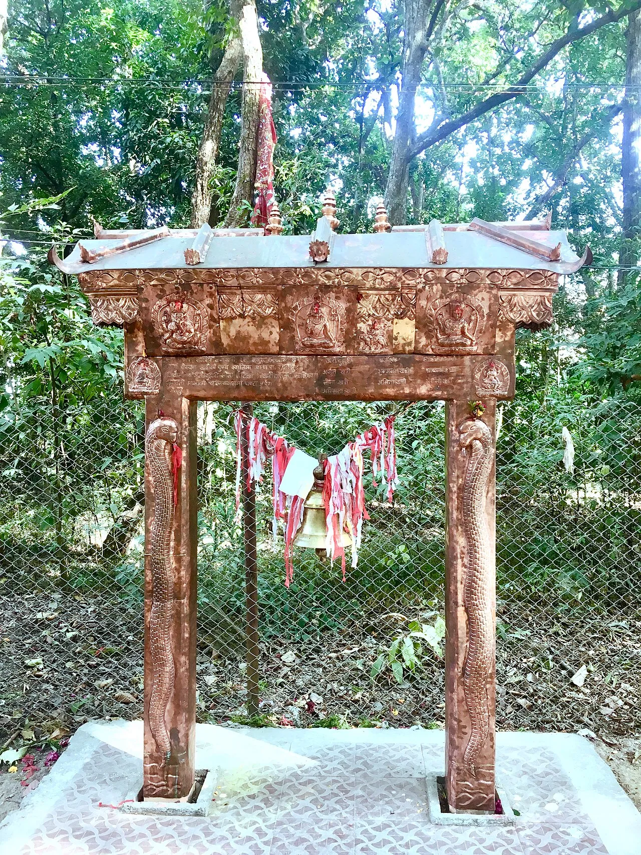
The “-khani” name marks a mining past — the same copper craft that defines the Chhantyal in their Myagdi–Baglung heartland. Rukum is counted among the districts of Chhantyal habitation; how Chhantyal families came to Birgum is not separately recorded, and the Chhantyal link here rests on the community’s own account.
What people do
A settlement-level population isn’t separately recorded; Putha Uttarganga as a whole counted 18,308 people at the 2021 census. Life rests on farming and income from work abroad.
Do you know Birgumkhani’s Chhantyal community? Help us confirm and record its story through the Connect page.
Sources
Know this village? Help us complete and correct its story through the Connect page. ✏️ Suggest a correction to this page