Takam lies about 37 km west of Beni in Myagdi, on the route toward Dhaulagiri Base Camp and the Dhorpatan trek. It is home to the Chhantyal alongside Magar, Gurung, Thakali and several other communities — Magar being the largest ethnicity across Myagdi.
Trace-back
Takam carries unusual history: its hilltop fort (~2,500 m), with temples to Jagannath and Annapurna, is remembered as an early seat of the Parbat kingdom under King Dimba Bam (Malla), the ruler who built Parbat out of the older Takam polity in the fifteenth century. The area was long administered by Thapa rulers before that.
What people do
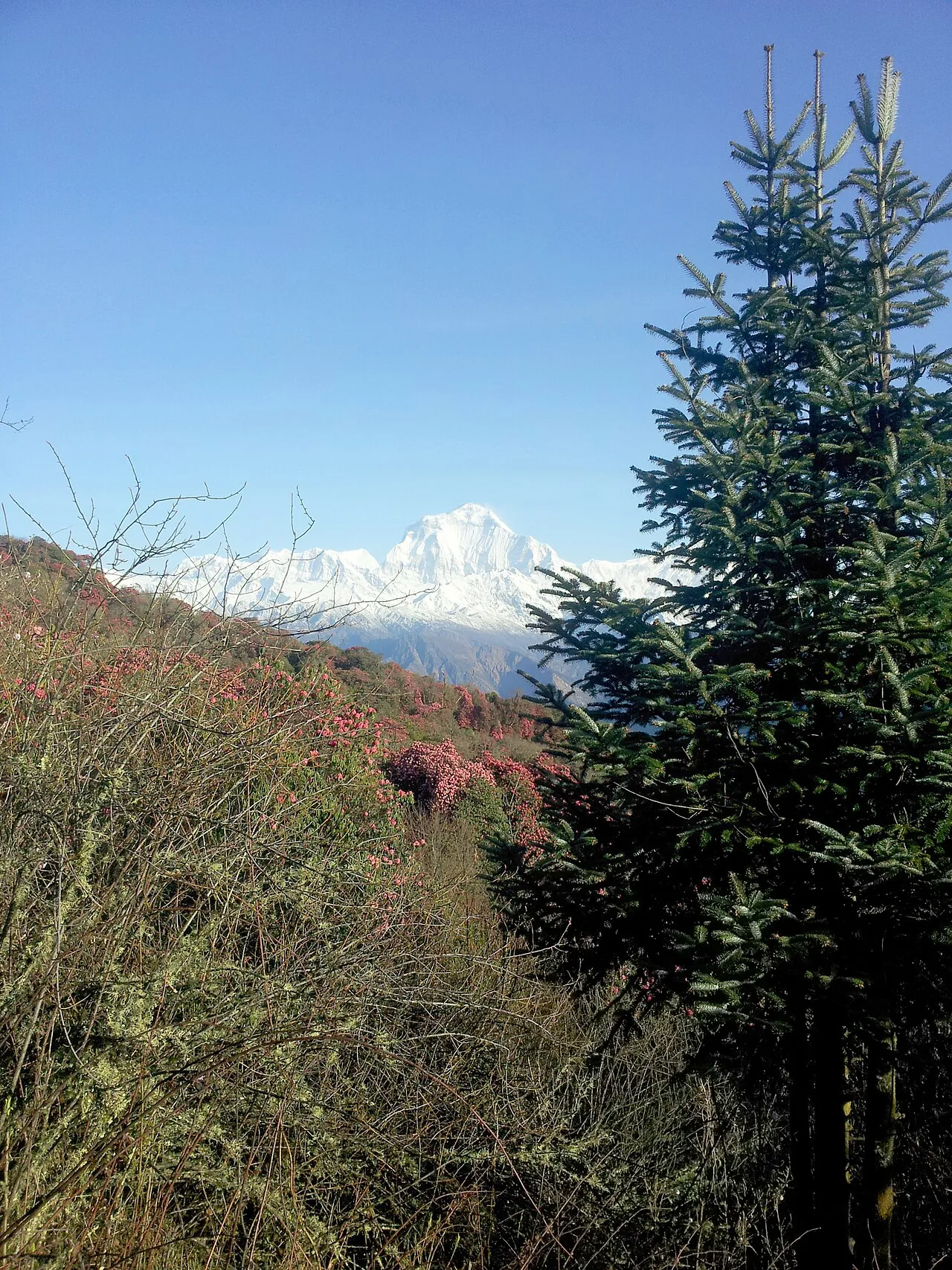
At the 1991 census Takam had about 3,629 people in 757 households. Life here blends farming and livestock with a growing trade in homestays and teahouses for trekkers — Takam is a natural stop on the Dhaulagiri routes, with views of Gurja, Churen, Dhaulagiri and Manapathi. As elsewhere, many families are also supported by work abroad.
Have more of Takam’s story or photographs to share? Add them through the Connect page.
Sources
Know this village? Help us complete and correct its story through the Connect page. ✏️ Suggest a correction to this page