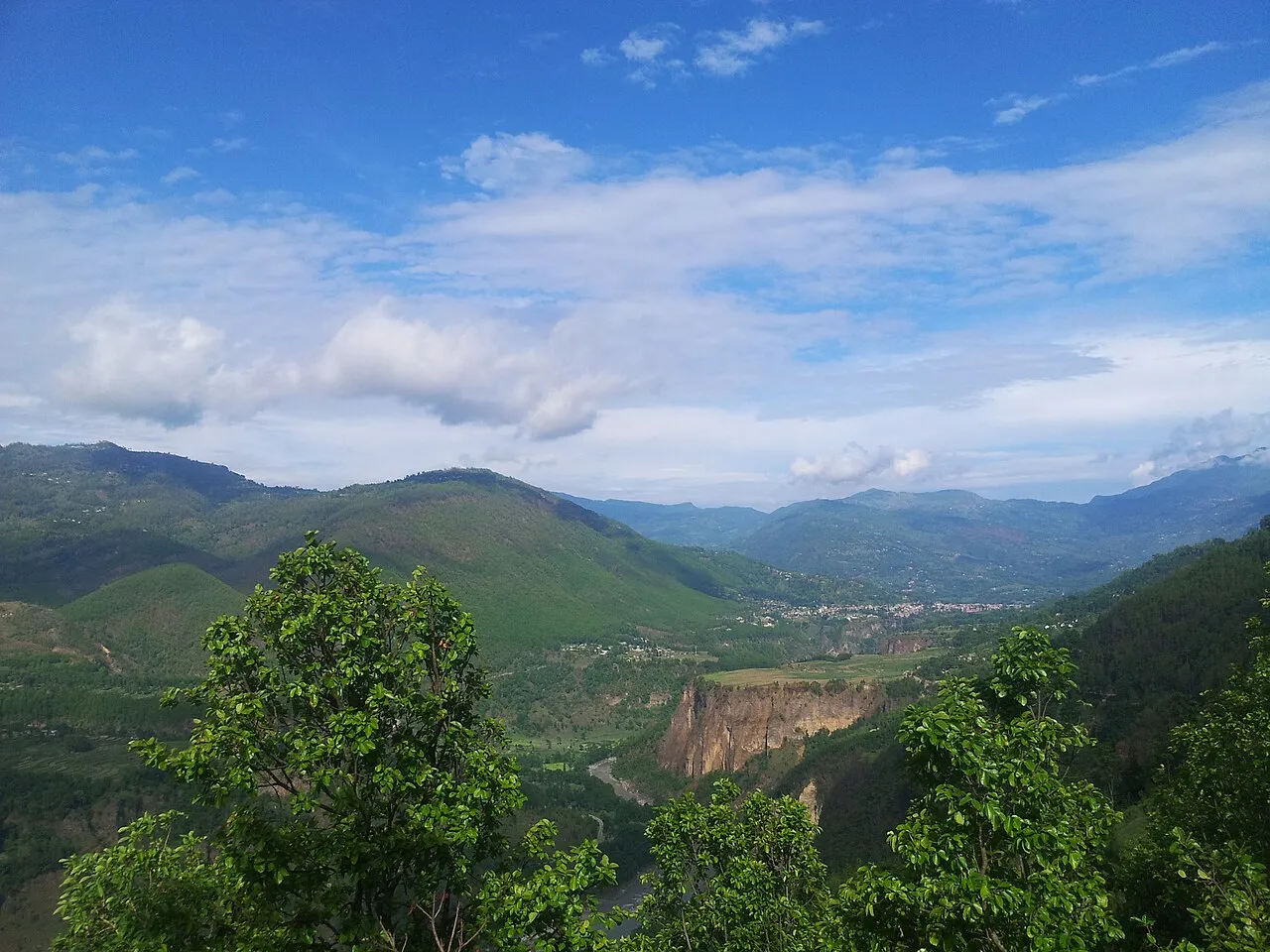
Garpan is a former Village Development Committee of Surkhet district in the mid-west, named by the Nepal Chhantyal Sangh among its Chhantyal areas — far from the Myagdi–Baglung heartland. In the 2017 reorganisation it was absorbed into Birendranagar Municipality, the Karnali provincial capital, where it now forms ward 16.
Trace-back
The Sangh’s roster names Garpan as a Chhantyal locality, the presence here likely the result of westward migration. Independent sources confirm the settlement; how and when Chhantyal families settled here is not separately recorded.
At the time of the 1991 census
The Garpan VDC recorded 1,953 people in 354 households — a figure for the whole VDC, not the Chhantyal families alone.
What people do
As across these hills, families live by farming and income from work abroad.
Do you know Garpan’s Chhantyal community? Help us record its story through the Connect page.
Sources
Know this village? Help us complete and correct its story through the Connect page. ✏️ Suggest a correction to this page