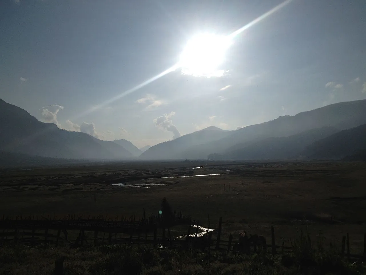
Taman is a scenic village at the foot of the Dhaulagiri range in Tamankhola Rural Municipality–3, Baglung. The Nepal Chhantyal Sangh names it among the district’s Chhantyal settlements, where Chhantyal families live alongside Magar and other communities. Above all, Taman is remembered as the seat of the Mukhiya — the traditional village chief.
The Mukhiya tradition
Six villages of western Baglung — Taman, Lamela, Khunga, Khungkhani, Narjakhani and Lukurban — were historically governed together under a single Mukhiya. The office survives in Taman not as a tax-collecting authority but as a keeper of customs and harmony: the Mukhiya organises festivals, coordinates the seasonal livestock migration (the chan), calls clean-up campaigns and settles disputes through the village assembly. The historic Mukhiya House, first built in 1959, was renovated in 2026; that same January, Govinda Bahadur Budha was elected Mukhiya for a three-year term — proof of how alive the institution remains. As he put it, “the responsibility is not about power; it is about protecting traditions that have guided this village for generations.”
At the time of the 1991 census
Taman recorded 2,651 people in 509 houses.
What people do
Life follows the rhythm of the high country: farming the slopes, herding with the seasonal chan movement of livestock, and — as across Baglung — income from family working abroad.
From Taman? Help us record more of the Mukhiya tradition, its Chhantyal families and photographs through the Connect page.
Sources
Know this village? Help us complete and correct its story through the Connect page. ✏️ Suggest a correction to this page