Arthunge is a former village development committee in the hills around Beni, the headquarters town of Myagdi. On 18 May 2014 it was merged — along with Ratnechaur, Jyamrukot, Pulachaur and Singa — into the new Beni Municipality. The Nepal Chhantyal Sangh names it among the district’s Chhantyal settlements, and Chhantyal is recorded among the languages of Beni Municipality.
Trace-back
Arthunge belongs to the cluster of Myagdi hill communities around Beni where Chhantyal families have long lived among a wider population. As across the district, the deeper roots of the community lie in the copper their ancestors mined.
At the time of the 1991 census
Arthunge VDC recorded a population of 4,166 people in 919 households — one of the larger units later folded into Beni Municipality.
What people do
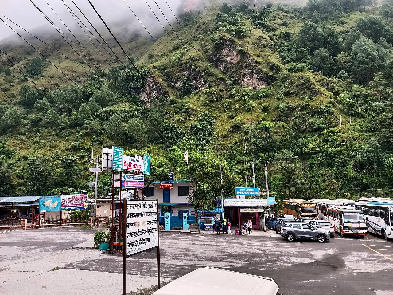
Life rests on farming the slopes, livestock, and income from family working abroad, with the town of Beni close at hand for trade and services.
From Arthunge? Help us record its Chhantyal community, history and photographs through the Connect page.
Sources
Know this village? Help us complete and correct its story through the Connect page. ✏️ Suggest a correction to this page