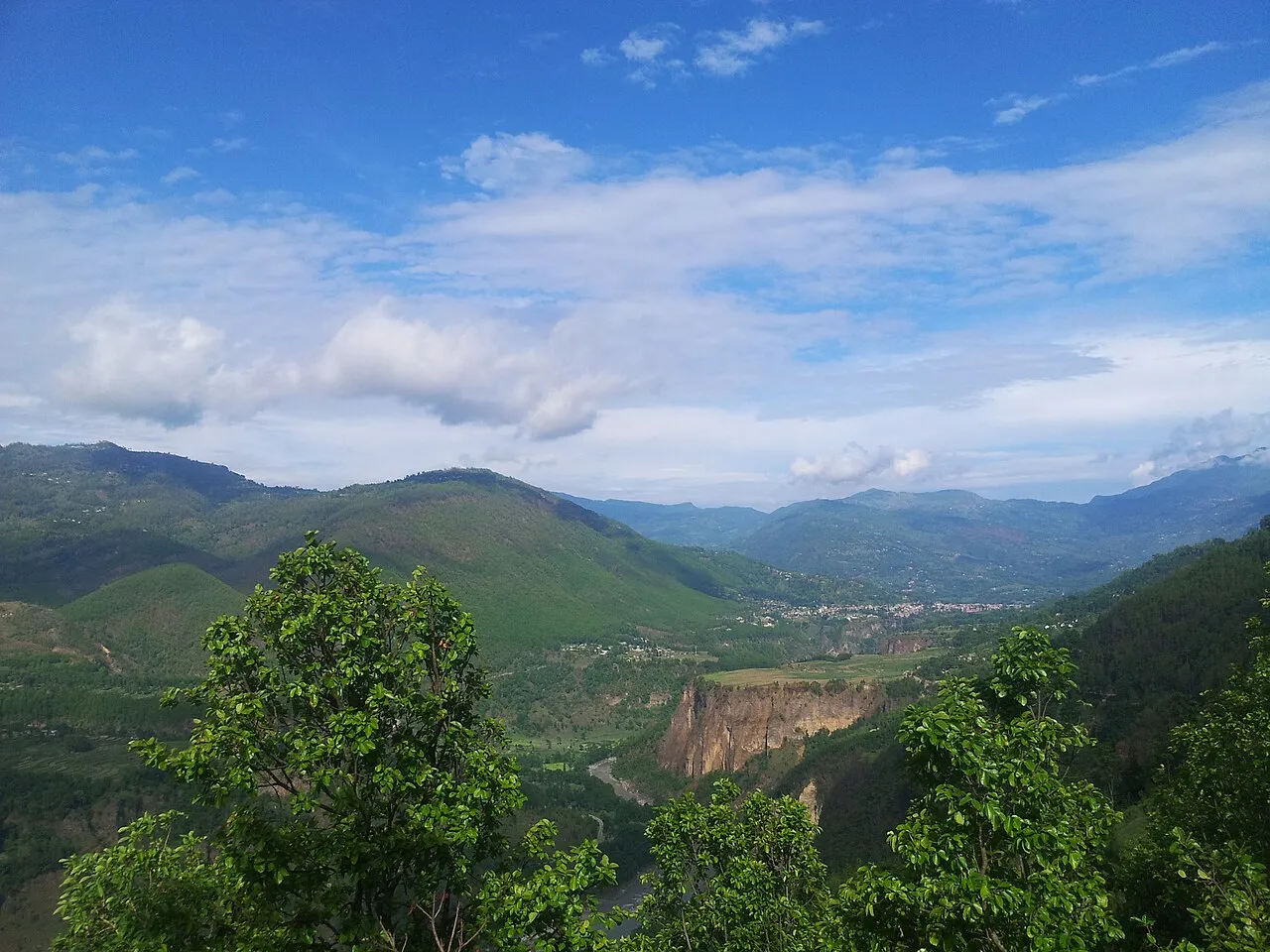
Bami is a former Village Development Committee of Gulmi district, named by the Nepal Chhantyal Sangh among the Chhantyal settlements east of the Myagdi–Baglung homeland. Its existence as a 1991 VDC is on record, but we have not been able to re-locate it in a present-day gazetteer or confirm which of Gulmi’s current municipalities absorbed it — so its place on the map is left unconfirmed.
A note on the name: the community list pairs Bami with “Malarani,” but the only Malarani the gazetteers record is a rural municipality in Arghakhanchi, a different district — so that pairing looks like a local name rather than an official one, and we don’t state it as fact here.
Trace-back
The Sangh’s naming of Bami reflects the eastward spread of the Chhantyal from their copper-mining heartland into Gulmi, where they form a small presence among a wider hill population. The Chhantyal link rests on the community’s own record.
At the time of the 1991 census
The Bami VDC recorded 5,993 people in 1,053 households — a figure for the whole VDC, not the Chhantyal families alone.
What people do
As across these hills, families live by farming and income from work abroad.
Is Bami your village? Help us confirm its present-day ward and its Chhantyal story through the Connect page.
Sources
Know this village? Help us complete and correct its story through the Connect page. ✏️ Suggest a correction to this page